Typhoon Saola to strike East Sea amid emergence of Haikui storm
VOV.VN - Typhoon Saola, is expected to enter the East Sea ahead in the next 48 hours, with another storm Haikui being formed and situated at about 1,500 km east of storm Saola, according to the National Center for Hydro-meteorological Forecasting.
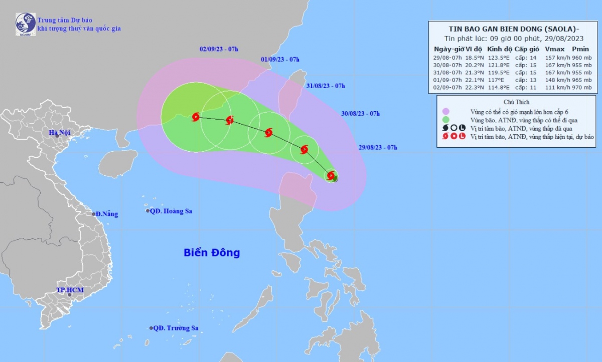
At 13:00 p.m. on August 29, the eye of Typhoon Saola was located on the northeast coast of Luzon Island in the Philippines, with the strongest winds located near its centre reaching between 150 km and 166 km per hour.
Over the next 48 hours, the storm is set to move in a northwest direction at a speed of between 10 km and 15 km per hour before entering the East Sea, thereby become the third storm in the country this year.
Along with the Typhoon Saola, another storm named Haikui has formed in the Pacific Northwest region, located about 1,500 km east of Saola.
Meteorologists emphasised that the interaction of the two storms will create a double storm effect, also known as the Fujiwara effect, which will ultimately make Typhoon Saola's developments become complicated and unpredictable.
With the emergence of the Fujiwara interaction, Typhoon Saola’s developments have changed a lot and the storm had been initially forecast to make landfall in Taiwan (China), then move into the Fujian area of China.
However, over the past two days Typhoon Saola has begun to change its direction, deviating more to the south and is expected to enter the East Sea in the next 48 hours.
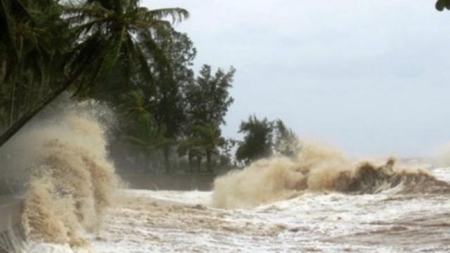
Due to the impact of storm Sao La, there will be strong winds and rough seas expected in the North East Sea region from the evening of August 29 and August 30, with sea waves reaching between 3 metres and 5 metres in height.


