Tropical depression forms in East Sea, moving toward Hoang Sa Archipelago

VOV.VN - Early on June 10, a low-pressure system over the northern part of the East Sea strengthened into a tropical depression, according to the National Center for Hydro-Meteorological Forecasting.

As of 4 a.m., the center of the depression was located about 360 km east-southeast of the Hoang Sa (Paracel) Archipelago, with maximum wind speeds of level 6 (39-49 km/h), gusting to level 8.
The system is expected to move slowly westward over the next 24 hours and may strengthen further. By the morning of June 11, it is forecast to approach closer to Hoang Sa, with wind speeds increasing to level 6-7, gusting to level 9. Over the next 48 hours, the depression may intensify into a storm, tracking west-northwest at 10-15 km/h.
The danger zone at sea is projected to expand, affecting the northern East Sea (including the Hoang Sa Archipelago), northern parts of the central East Sea, and offshore areas from central provinces, Hue to Quang Ngai. The affected areas are expected to see thunderstorms, strong winds, rough seas, and waves reaching 2-4 meters. The disaster risk level due to strong winds at sea remains at level 3.
Vessels operating in the danger zone are advised to take caution against strong winds, thunderstorms, waterspouts, and high waves.
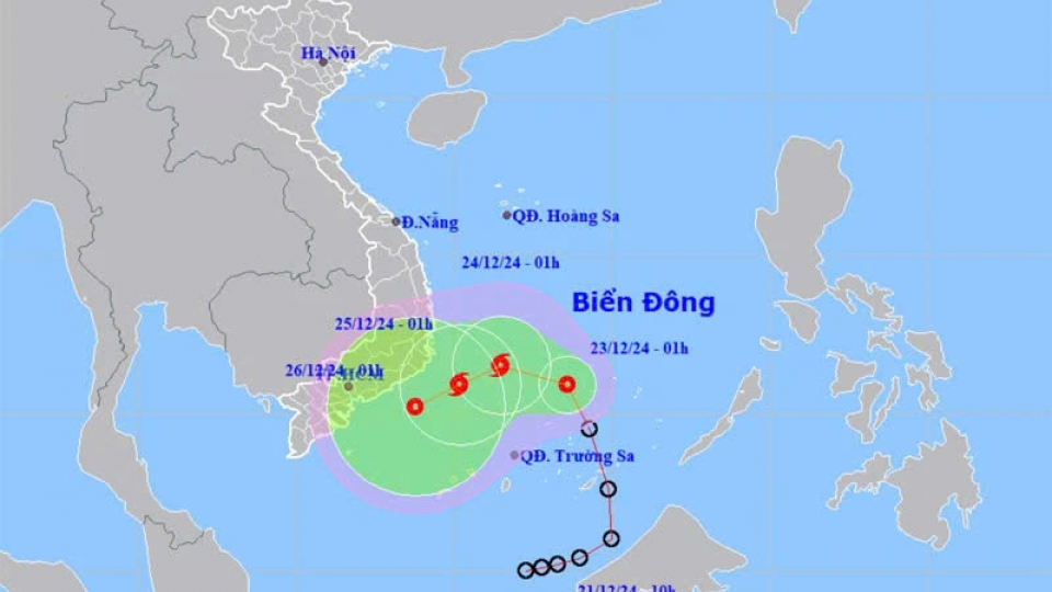
Tropical depression likely to strengthen into a storm
VOV.VN - The tropical depression that formed in the East Sea on December 21 is likely to gain strength into a storm on December 23 evening, with maximum winds reaching 62–74 kmh and gusts of up to 89-102kph, according to the National Center for Hydro-Meteorological Forecasting.
