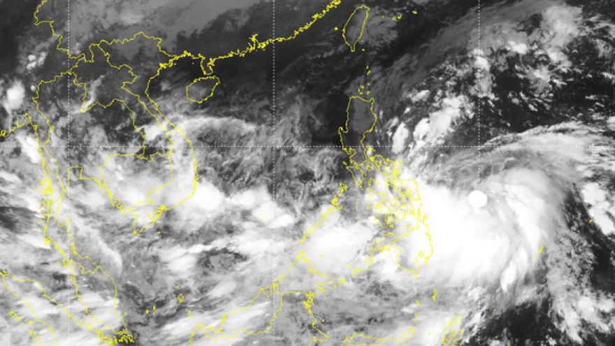
Typhoon Nalgae anticipated to continue gaining strength
VOV.VN - Typhoon Nalgae is forecast to strengthen before entering the East Sea, with its path being subject to various weather patterns, according to data compiled by the National Center for Hydro-meteorological Forecasting.
At 13:00 p.m. on October 29, the eye of the storm was located in the central region of the Philippines, with the strongest winds near its centre reaching between 89km and 102km per hour.
Moving forward, Typhoon Nalgae is forecast to get increasingly stronger over the next 24 to 48 hours. At 13:00 p.m. on October 30, the storm is expected to travel northwest with a speed of between 15km and 20km per hour.
Strong winds and high sea waves are therefore anticipated to hit the north and central area of the East Sea.
Nguyen Van Huong, head of weather forecasting department under the National Center for Hydro-meteorological Forecasting, revealed that after the weather pattern moves into the East Sea, Typhoon Nalgae will be affected by the cold air and two subtropical highs, thereby leading to fluctuations in its path.


