Tropical depression strengthens, central region braces for flood risks

VOV.VN - A tropical depression over the East Sea has strengthened and is forecast to directly impact Vietnam's central region, compounding heavy downpours in recent days that have heightened the risk of flooding, flash floods, and landslides across many localities.
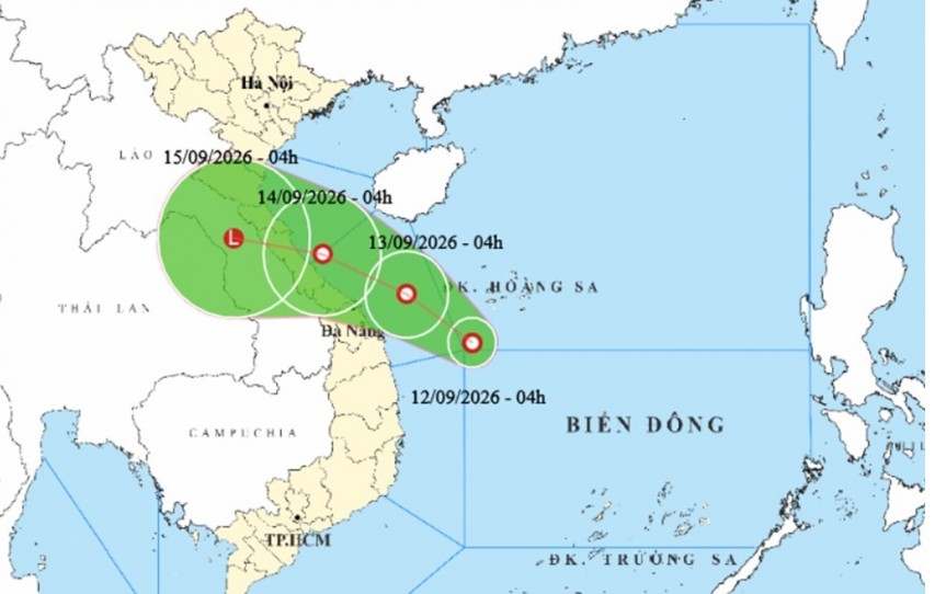
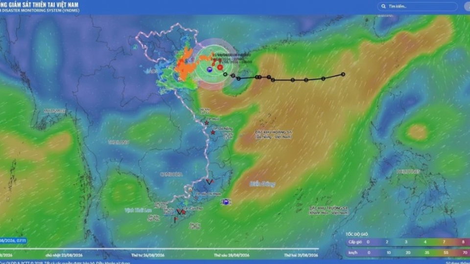
According to the National Civil Defense Steering Committee, the center of the tropical depression was located this morning about 150 kilometers southwest of the Hoang Sa (Paracel) special administrative region.
Packing maximum sustained winds of level 6 (39-49 km/h), gusting to level 8 (62-74 km/h), moving northwest at about 10 kilometers per hour, the system is moving northwest at about 10 kilometers per hour.
Forecasts indicate that by 7:00 AM on September 13, the center of the system will be over the coastal waters off Hue and Da Nang, approximately 110 kilometers east-northeast of Da Nang.
Early this morning (September 13), the National Center for Hydro-Meteorological Forecasting reported that the depression formed after a low-pressure area over the southwest of the Hoang Sa region intensified.
Disaster response agencies have instructed localities spanning from Quang Ninh to Dak Lak to strictly manage vessels, issue warnings regarding danger zones, and enforce maritime bans when necessary.
On land, local governments are directed to review areas at high risk of deep inundation, flash floods, and landslides, ensure the safety of dikes and reservoirs, and proactively drain water to protect agricultural production. Farmers have also been urged to accelerate the harvesting of crops and aquaculture under the motto "harvesting early is better than leaving it too late," while rescue forces remain on standby.
Due to the system's impact, maritime zones stretching from Ha Tinh to Quang Ngai and the western part of the Hoang Sa region face winds of level 6, gusts of level 8, and rough seas with waves reaching 2 to 4 meters.
The natural disaster risk level at sea has been designated at level 3, prompting forecasters to advise all vessels operating in the area to regularly monitor updates and steer clear of dangerous waters.
Beyond maritime hazards, the tropical depression is triggering heavy rainfall across several central provinces. Downpours are hitting areas from Ha Tinh to northern Quang Tri, with the heavy rain zone concentrated from southern Quang Tri to Quang Ngai.
Precipitation in certain areas is projected to exceed 250 millimeters, sharply escalating the threat of urban flooding, waterlogging in low-lying tracts, and rapid surges in river water levels that could disrupt transportation and daily life.
The national meteorological agency has issued high-level alerts for flash floods and landslides in mountainous communes, urging residents in steep terrain and near rivers to closely follow official forecasts. Provincial and local administrations are actively reviewing vulnerable zones and preparing evacuation plans as the situation evolves.
Tropical depression in East Sea forecast to strengthen into storm within 24 hours
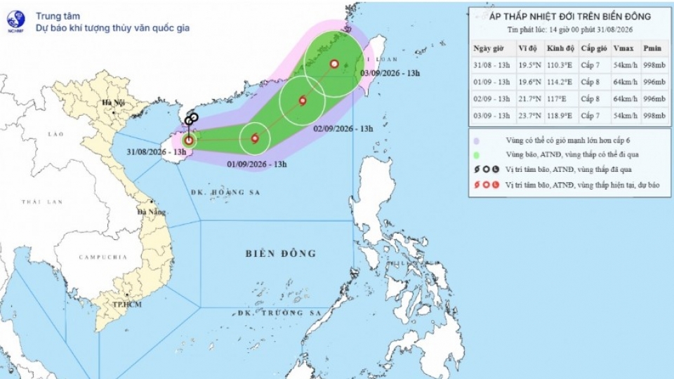
VOV.VN - A tropical depression over China's Hainan Island is moving eastward and forecast to intensify into a storm within the next 24 hours, bringing strong winds and rough seas to the northern area of the East Sea, according to the National Center for Hydro-Meteorological Forecasting.
Tropical depression shifts course and intensifies over Gulf of Tonkin
VOV.VN - A tropical depression over the northern Gulf of Tonkin has intensified and changed direction toward the northwest, according to the National Center for Hydro-Meteorological Forecasting.