Tropical depression on collision course to Vietnam
A low pressure zone intensified into a tropical depression on Sunday afternoon with heavy rains forecast to drench central Vietnam.
 |
A low pressure zone intensified into a tropical depression on September 11 afternoon north of the Truong Sa (Spratly) Islands in Vietnam’s East Sea, internationally known as the South China Sea.
The National Hydro-meteorological Forecasting Center said it would bring torrential rains to central and southern provinces, and wind speeds are projected to peak at 50 kilometers an hour.
The depression is forecast to move westward towards the provinces of Quang Ngai and Khanh Hoa tomorrow afternoon.
Central provinces from Quang Binh to Quang Ngai are expected to experience heavy rain from late September 12 to September 14.
Heavy rains may also roll in and trigger tornadoes from Binh Dinh to Binh Thuan, in the Central Highlands and southern Vietnam in the next 2-3 days.
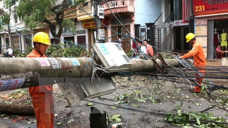
Vietnam is hit by an average of eight to 10 tropical storms between July and October every year, which often cause heavy material and human losses.
On July 26, Typhoon Mirinae formed in the South China Sea and made landfall in northern Vietnam, triggering heavy rains accompanied by gale-force winds.
Typhoon Nida, the second tropical storm to hit Vietnam this year, brought torrential rains to nearly all northern provinces in August, causing flash floods in mountainous provinces and low-lying regions.


