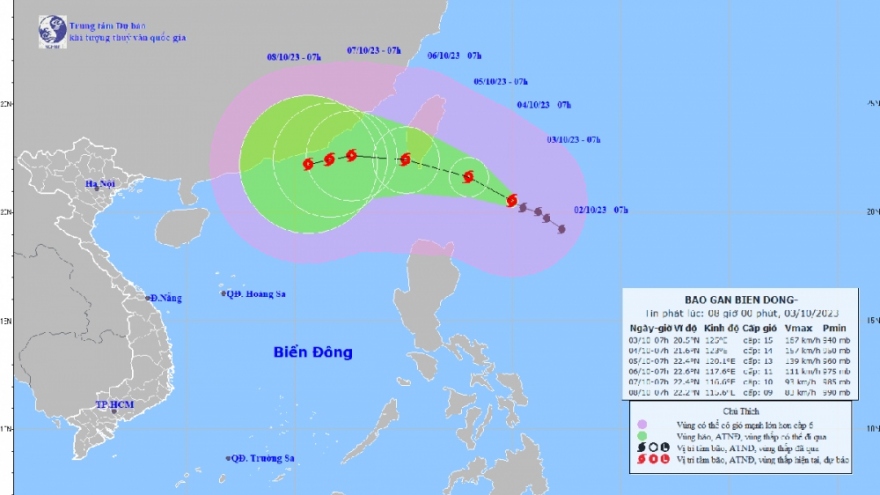
Tropical depression likely to enter East Sea
VOV.VN - A tropical low-pressure system has formed in the northern region of the East Sea, with this weather pattern likely to develop into a tropical depression, said the National Centre for Hydro-meteorological Forecasting on May 30.

However, there remains a high possibility that the tropical depression will make landfall into China and is therefore unlikely to directly affect the nation.
Dr. Nguyen Ngoc Huy, an expert on climate change and natural disaster warning, revealed that the tropical depression tends to travel in a north-northeast direction before typically heading towards mainland China.
Forecasters said that at about 10 a.m., the tropical low pressure zone was located at between 17 and 20 degree north latitude.
Over the course of the next 24 hours, the tropical low pressure area is forecast to move slowly to the north and is likely to then strengthen into a tropical depression.
Due to the impact of the low pressure area, there will be strong winds and rough seas occurring over the East Sea area, as well as the coastal areas from Da Nang to Binh Thuan.
Moreover, there will be showers and thunderstorms hitting the Gulf of Tonkin and the East Sea area, including the waters of the Hoang Sa and Truong Sa archipelagos, as well as the waters from Quang Tri to Ca Mau to Kien Giang.
All vessels operating in these areas will face a high risk of being affected by tornadoes, strong winds, and high sea waves.
According to forecasters, from now until August, there will be between three to five storms or tropical depressions occurring in the East Sea, of which one will make landfall in the country.


