Tropical depression expected to enter East Sea and strengthen into storm
VOV.VN - A tropical depression over the East Sea is forecast to intensify into a typhoon and cause a prolonged spell of rain in the northern region of Vietnam in the coming days, reported the National Centre for Hydro-Meteorological Forecasting.

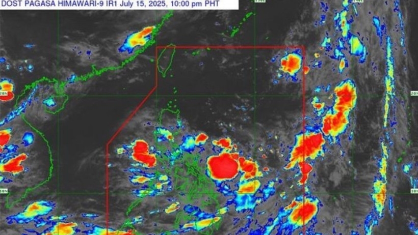
As of 7 a.m. on July 16, the centre of the tropical depression was more than 1,000 km east-southeast of Luzon Island (Philippines), packing winds of 39–49 kmh near its centre, with gusts reaching 62-74kph.
The system is currently moving slowly in a west-northwest direction at a speed of about 5–10kmh, and is likely to gain strength into a storm in one or two days. The storm is then projected to cross northern Luzon and enter the East Sea this weekend, said meteorologists.
Due to the influence of the tropical depression, the East Sea, including the Hoang Sa (Paracel) and Truong Sa (Spratly) archipelagos, will experience thunderstorms, strong winds, and rough seas.
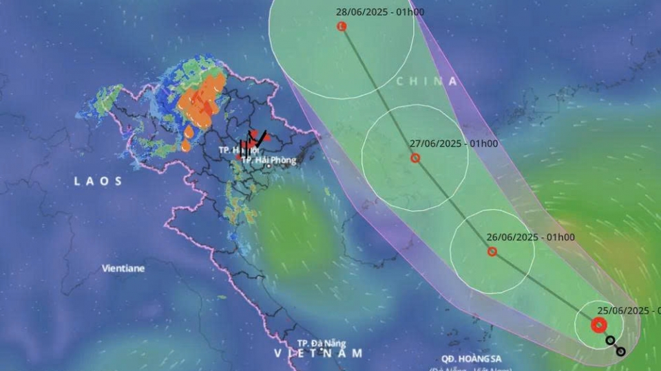
If the storm continues on a west-northwest trajectory and moves toward mainland Vietnam, there is a high risk of widespread heavy rain in the northern region and provinces from Thanh Hoa to Nghe An between July 20 and 25.
The National Centre for Hydro-Meteorological Forecasting has urged authorities, residents, and marine operations to stay updated with official forecasts and proactively implement preventive measures and timely responses to any possible developments.
Vessels operating in the affected areas are advised to be aware of potential thunderstorms, squalls, strong winds, and high waves.


