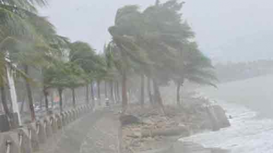
Storm Dianmu sweeps through northern mainland of Vietnam
Storm Dianmu hit the northern mainland of Vietnam in the afternoon of August 19 with sustained winds of up to 60-90km per hour.
 |
At 2pm that day, the centre of the third storm of the year was at about 20.7 degrees north latitude and 106.4 degrees east longitude, in the area of Haiphong city and Thai Binh province.
In the next 12 hours, it will move west-west northwest at a speed of 15-20km per hour and continue affecting the northern and northern central regions.
By 1am of August 20, Dianmu will abate into a tropical depression at 21.1 degrees north latitude and 104.3 degrees east longitude, in northwestern provinces. Wind speeds of the depression can be about 40-50km per hour.
In the following 12-24 hours, the depression will mainly move westwards at 15-20km per hour and ease into a low pressure area when it reaches the north of neighbouring Laos.
Heavy rains will continue across the northern and northern central regions through August 20.
A rainfall of 100-250mm is expected to be recorded in northern coastal and lowland provinces from the night of August 19 through August 20.
Meanwhile, other areas in the north and the northern central provinces from Thanh Hoa to Quang Binh will experience 50-150mm of rainfall.
Flash floods and landslides are warned for northern mountainous provinces, while inundation is likely to happen in lowland areas.


