Quang Nam exhibition spotlights Vietnam’s sea, island sovereignty
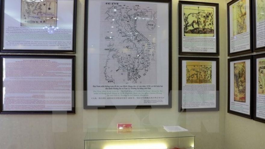
An exhibition displaying maps and documentaries affirming Vietnam’s sovereignty over Hoang Sa (Paracel) and Truong Sa (Spratly) archipelagos was opened in Dai Loc district, in the central coastal province of Quang Nam on May 31.
 |
The exhibition introduces 150 maps published by Vietnam, China and western countries, together with 60 maps and hiflex posters, four ancient Atlases, and official documents dated back from Nguyen dynasty, among others.
Particularly, a number of visual documentaries are also being shown as evidence of Vietnam’s sovereignty over Hoang Sa and Truong Sa.
The event aims to enhance the public’s awareness and responsibility of protecting the country’s sovereignty over sacred seas and islands, while recalling the sacrifice of generations to guard those seas and islands, and confirms the Party, State and people of Vietnam’s determination to firmly preserve the nation as well as sea and island sovereignty.
The event will remain open until June 3.


