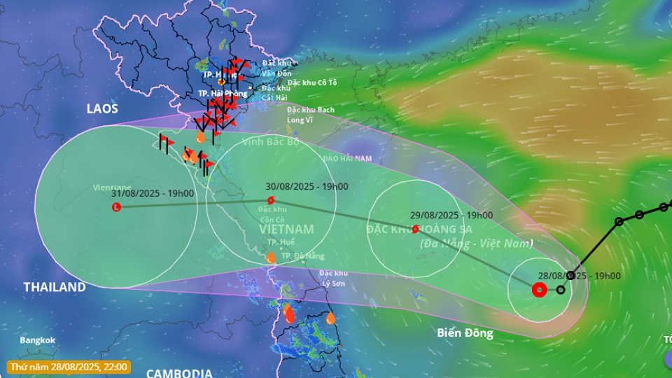
Low-pressure area in East Sea likely to intensify into tropical depression

VOV.VN - A low-pressure area has developed over the eastern waters of the central East Sea, the National Center for Hydro-Meteorological Forecasting reported on the afternoon of September 15.

At 13:00, the center of the system was located at approximately 12.5-13.5°N latitude and 118.0-119.0°E longitude.
Over the next 24 hours, the low-pressure area is expected to move west-northwest at around 15 km/h, with a possibility of intensifying into a tropical depression.
As a result, the eastern waters of the central East Sea are forecast to experience heavy showers and thunderstorms, with winds strengthening to force 5-6, gusting up to force 8, and waves reaching 2-3 meters, causing rough sea conditions. Local vessels are advised to take precautions and ensure safety.
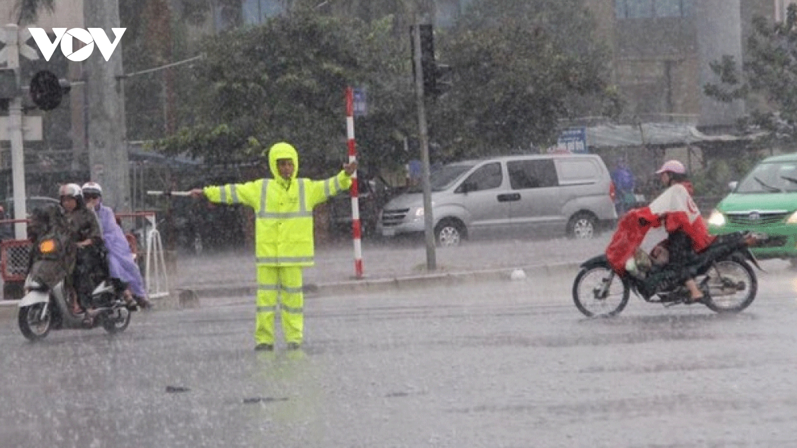
From the evening of September 15 to the morning of September 16, scattered showers and thunderstorms are expected across northern Vietnam, with localized heavy rainfall of 10-30 mm and some areas exceeding 80 mm.
In the central region from Thua Thien-Hue to Lam Dong and the southern region, showers and thunderstorms are forecast in the late afternoon and evening of September 15, with localized heavy rainfall of 15-30 mm and some places exceeding 100 mm.
Heavy rain exceeding 80 mm within three hours may trigger flash floods in small rivers and streams, landslides on slopes, and flooding in low-lying areas. There is a risk of tornadoes, lightning, hail, and strong gusts during thunderstorms.
Tropical depression to strengthen into storm, heading toward central Vietnam
VOV.VN - A tropical depression that is swirling over the northern part of the East Sea is likely to strengthen into a storm in the next 24 – to 48 hours, according to the National Centre for Hydro-Meteorological Forecasting.