Kalmaegi heads toward East Sea, cold air mass brings chill to northern Vietnam

VOV.VN - Typhoon Kalmaegi, the 13th storm to form in the East Sea this year, was moving westward toward the area on the evening of November 2 at a speed of 30-35 kph, according to the National Centre for Hydro-Meteorological Forecasting.

At that time, it was packing sustained winds of force 10 (about 90 kph) and gusts up to force 13 (about 120 kph).
Forecasters said that from November 4 to 6, the central East Sea and the waters off Da Nang city to south-central Khanh Hoa province are expected to experience very strong winds of force 12-14 (120-160 kph), with gusts above force 17 (over 200 kph) and waves of 8-10 meters, creating extremely rough seas.
Over the following 72-120 hours, the typhoon is forecast to move mainly northwestward at 20-25 kph and may continue to strengthen. It could reach peak intensity near the Spratly Islands, possibly exceeding force 12 (above 120 kph).
From the afternoon of November 4, the eastern part of the central East Sea will see winds increase from force 6-7 (40-60 kph) to force 8-9 (65-90 kph), and near the storm center up to force 10-12 (90-120 kph), with gusts to force 14-15 (130-150 kph) and waves of 5-7 meters. Seas will be very rough, and vessels are advised to take precautions.
In another weather development, a surge of cold air is spreading across northern and north-central Vietnam. The cold front, which began affecting northeastern provinces on the night of November 2, will continue to expand westward and southward over the next 24-48 hours, reaching parts of the northwest, north-central and central regions.
On land, northeast winds are forecast at force 2-3, increasing to force 3-4 in coastal areas. From the night of November 2 to 4, northern localities, Thanh Hoa and Nghe An will see widespread rain and temperatures drop to 16-19°C, with highland areas below 15°C. In Hanoi, rain and cold weather are expected, with lows of 17-19°C.
The forecaster warned that the combined effects of the cold air and upper-level disturbances may bring heavy rain from southern Nghe An to Quang Ngai, posing risks of flooding in low-lying areas, flash floods and landslides on mountain slopes, and urban inundation during periods of intense rain.
Maritime and coastal authorities have been advised to closely monitor official forecasts and prepare for urgent response measures.
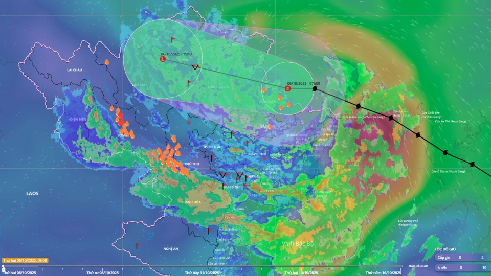
Typhoon Matmo makes landfall, heavy rain forecast for Northern Vietnam
VOV.VN - Typhoon Matmo made landfall in the Fangcheng area of China’s Guangxi province, near the Vietnam–China border on October 6, before weakening into a tropical depression as it moved deeper into the northern mountainous regions of Vietnam.