Experience shared to enhance natural disaster resilience
A training course on mapping natural-disaster risks using the geographic information system (GIS) at communal level is underway in Hanoi from March 21 – 23.
Trainees are introduced to the latest and user-friendly method of mapping natural disaster risks, and shared mapping experience in Vietnam.
 |
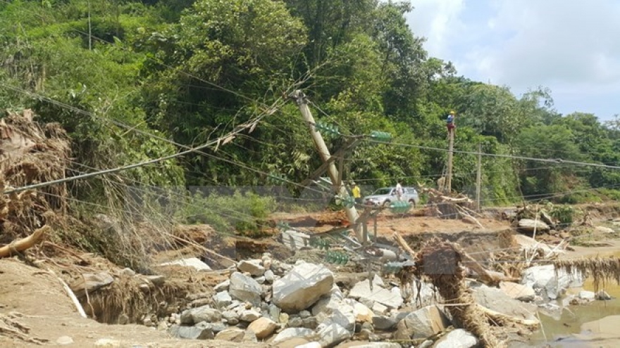
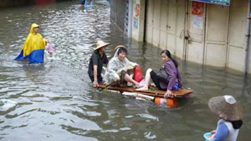
The project, worth EUR410,445, is being carried out from August 1, 2016 to February 28, 2018, aiming to increase the natural-disaster resilience among poor people and vulnerable groups as well as local authorities in the severely affected areas by natural disasters.
Once completed, around 76,000 people are expected to benefit directly while 83,000 others and over 30 organisations benefit indirectly from the project.


