Cold surge to bring rain, chill and humidity to northern Vietnam

VOV.VN - Northern Vietnam will experience one more day of warm sunshine on March 2 before a new cold air mass moves in overnight, bringing rain, lower temperatures and high humidity, according to the Vietnam National Centre for Hydro-Meteorological Forecasting.

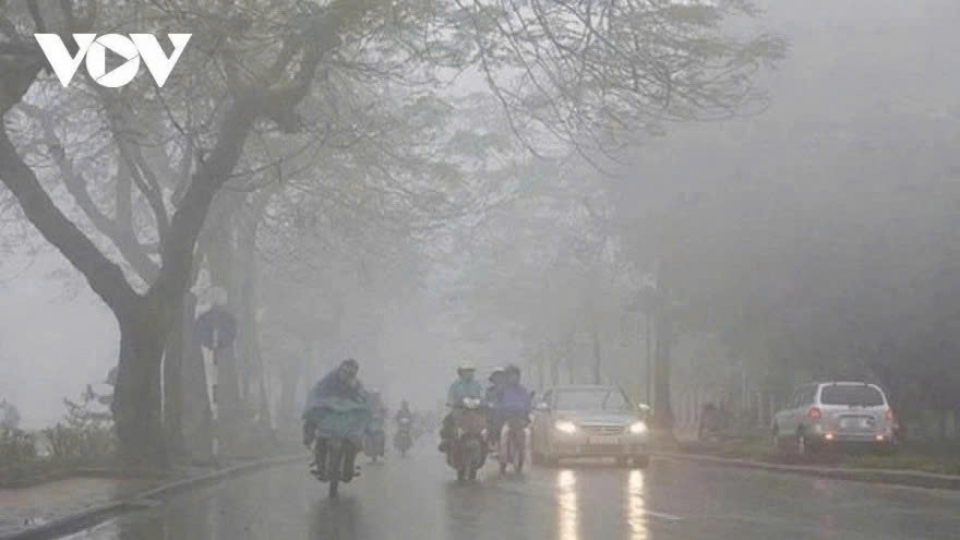
Provinces across the Northern and North-central regions are expected to see warm weather on March 2, with temperatures in many areas reaching nearly 30°C. Light morning fog and scattered clouds are forecast, with sunshine becoming more prominent toward midday, creating mild early-spring conditions.
However, this weather pattern will not last long. A cold air mass is currently moving southward and is expected to reach the northern border areas by late March 2.
From the night of March 2 into March 3, the cold air will first affect the Northeastern region, then expand to the North-central region, most parts of the Northwestern region, and some areas of the Central region.
Due to the cold surge, Northern and North-central provinces are set to experience scattered rain and showers, with isolated thunderstorms. From March 3, nighttime and early morning temperatures in the North and localities in the North-central region will turn chilly, while mountainous areas in the Northeast will see colder conditions.
The lowest temperatures during this cold spell are expected to range between 15–18°C in the North and drop below 14°C in some mountainous areas.
Increased moisture associated with rainfall and cold air may lead to higher humidity levels in northern localities. However, meteorological expert have not issued an official warning regarding widespread damp or “humid condensation” conditions during this cold spell.
In Hanoi, rain and scattered showers with possible thunderstorms are expected from the night of March 2. From March 3, the capital will turn chilly at night and in the early morning, with minimum temperatures ranging from 16–18°C during this cold spell.
Meteorological experts have also issued warnings about hazardous weather conditions associated with the cold air mass, including strong winds and rough seas in the Gulf of Tonkin and East Sea.
From March 3, the central region is also expected to see scattered showers and thunderstorms. During thunderstorms, residents are advised to remain alert for possible whirlwinds, lightning, hail and strong gusty winds.
Severe weather phenomena may negatively affect agricultural production, damage trees, houses, transport infrastructure and other facilities. Strong winds and high waves at sea may also disrupt fishing operations and maritime activities.
Drizzle to persist in Northern Vietnam ahead of stronger cold surge
VOV.VN - Northern Vietnam is expected to experience several days of drizzle, light rain and fog under the influence of a weak easterly cold air mass, before a stronger cold front is forecast to bring a sharp temperature drop later during the holiday period.
