Vietnam deposits baseline coordinates of Gulf of Tonkin with UN

VOV.VN - The UN Secretary-General has officially announced that Vietnam has completed the deposit of nautical charts and a list of geographical coordinates related to the baseline used to determine the breadth of the territorial sea in the Gulf of Tonkin.

The UN Secretary-General’s announcement on March 12, 2025, to member states stated that on 7 March 2025, the Socialist Republic of Vietnam deposited with the UN, pursuant to article 6, paragraph 2 of the 1982 United Nations Convention on the Law of the Sea, Chart (Chart of baselines for measuring the breadth of the territorial sea of the Socialist Republic of Vietnam in the Gulf of Bac Bo (Tonkin) showing straight baselines and outer limits of the territorial sea, as well as a list of geographical coordinates of points regarding “ the baseline for measuring the breadth of the territorial sea of the mainland territory of Vietnam in the Gulf of Bac Bo” as contained in the Statement of the Government of the Socialist Republic of Vietnam on the Baselines for Measuring the Breadth of the territorial sea in the Gulf of Bac Bo of 21 February 2025, declared by the Government of the Socialist Republic of Vietnam in accordance with the Law of the Sea of Vietnam, promulgated on 21 June 2012.
On March 14, 2025, the United Nations website published detailed information on the deposit at www.un.org/Depts/los.
The statement of the Government of Vietnam dated February 21, 2025, on the baselines for measuring the breadth of the territorial sea in the Gulf of Tonkin will be published in the next issue of the Law of the Sea Bulletin.
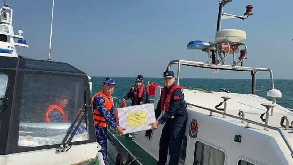
China, Vietnam conduct fourth joint patrol in northern Gulf of Tonkin
VOV.VN - The Vietnam Coast Guard (VCG) and its Chinese counterpart conducted the fourth joint patrol in the northern waters of the Gulf of Tonkin, off the coast of Mong Cai city in the northern province of Quang Ninh and Dongxing city in China's Guangxi province on December 24.
